


The Crown of the Continent
A look at some photographs made in and around Glacier National Park.

I just returned home from a week out West taking photos and hanging out with fellow photography friends. While I could wax poetic about the benefits of surrounding yourself with good company in beautiful settings, I’ll refrain…for now.
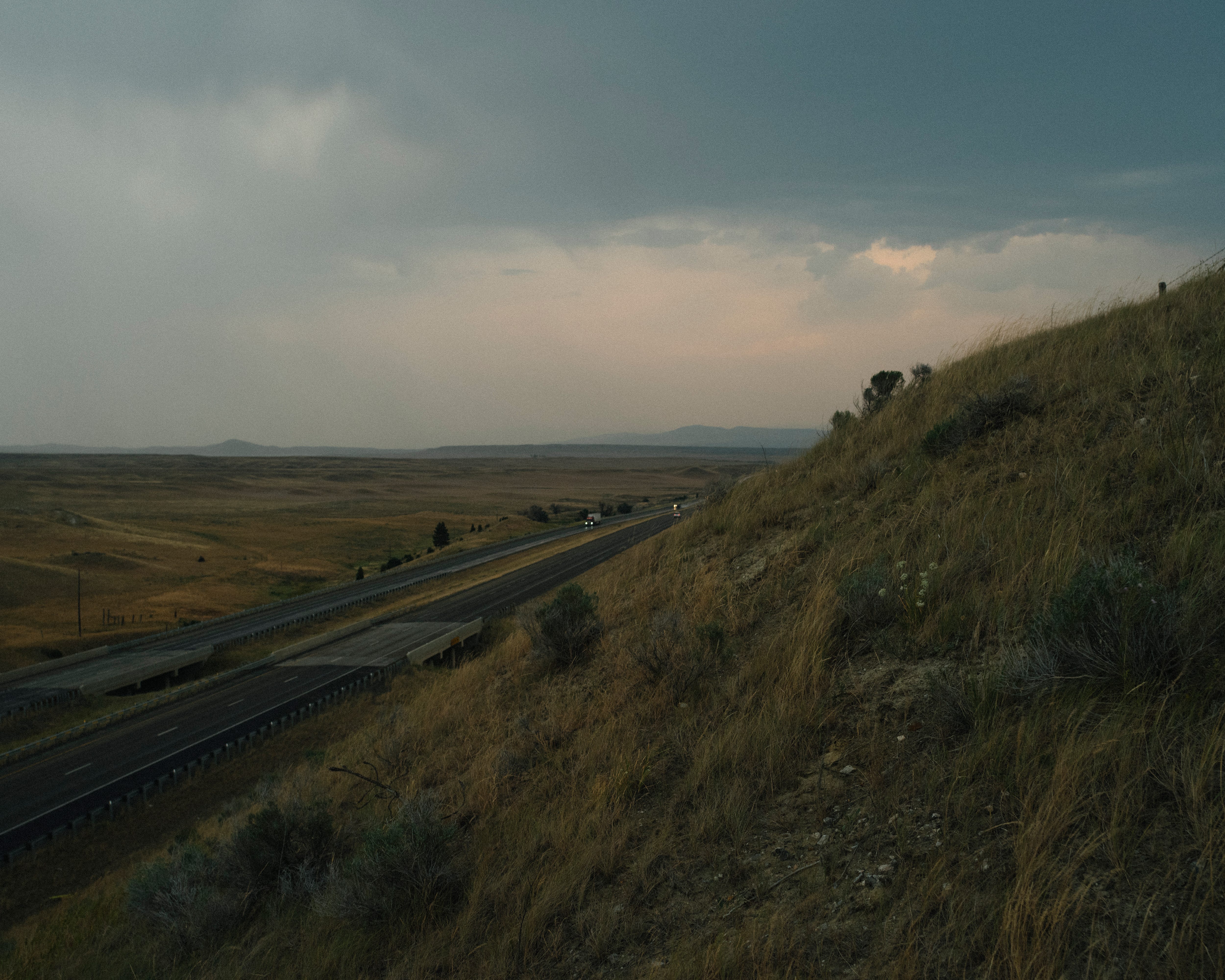
Here are a few photos I made from my time in and around Glacier National Park.


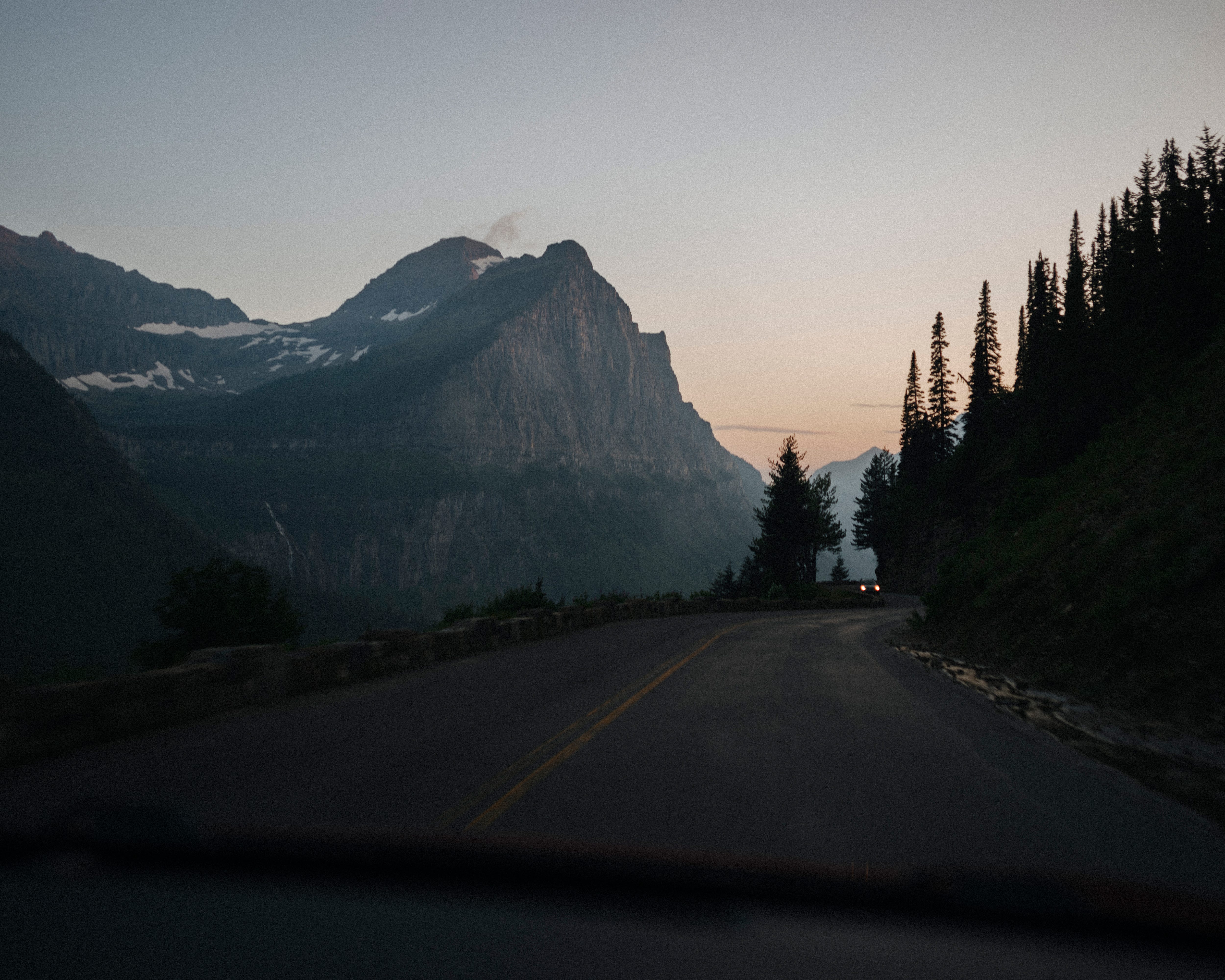
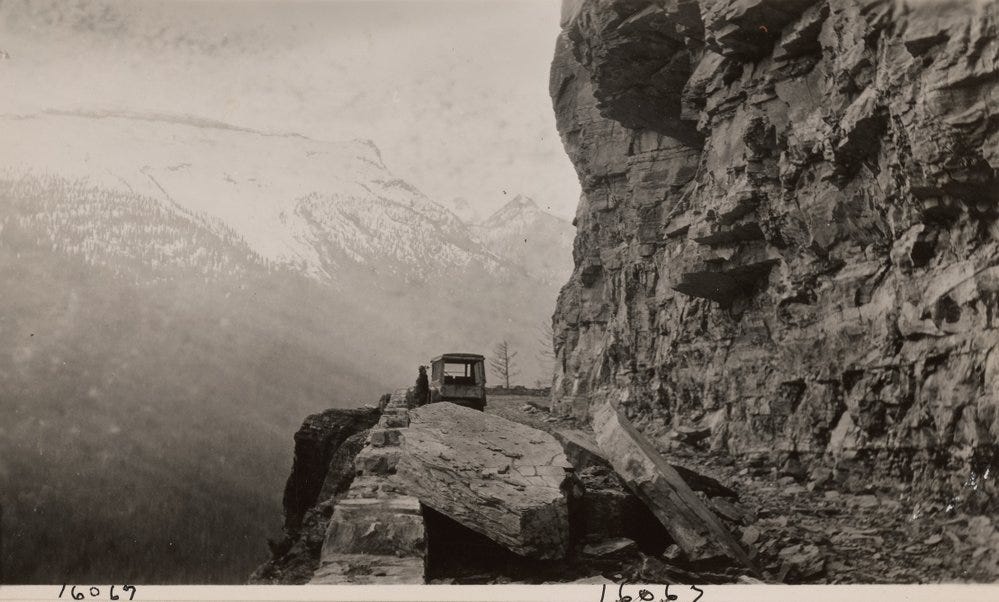
While driving through the park, we wondered how the renowned road that cuts through the southern part of the park, “Going-to-the-Sun Road”, was built. Its truly an engineering feat and driving on the road is a mind blowing experience.
We were simultaneously in awe of nature and humans.
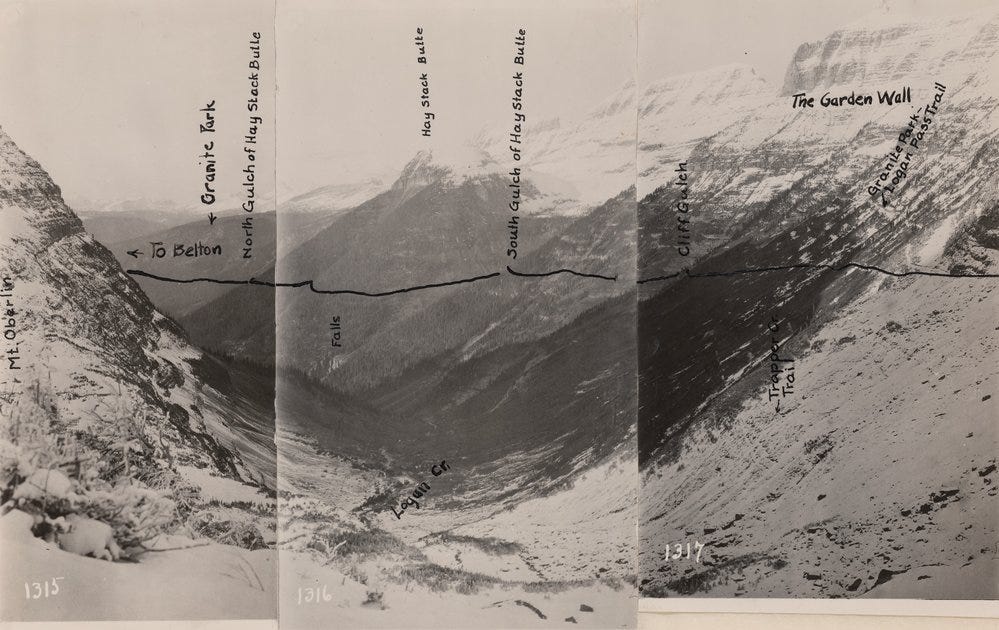
One of my companions, Bryan Birks, found this detailed description of how the road was constructed via the National Park Service website. Here’s a snippet from the report:
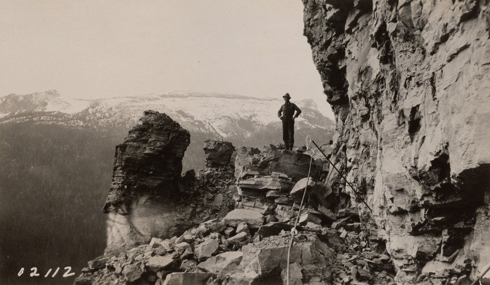
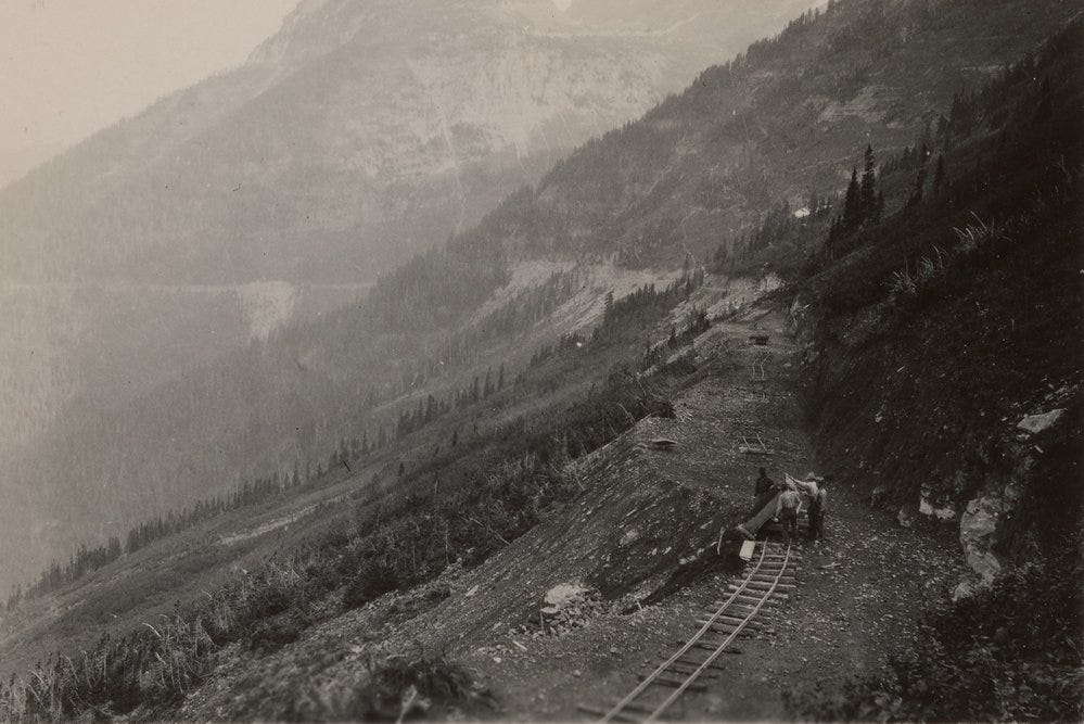
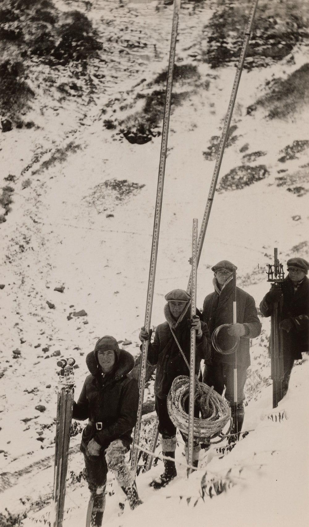
Frank A. Kittredge of the Bureau of Public Roads directed the survey of 1924. The project, which mapped out 21 miles over the Continental Divide, started in September, and Kittredge raced to finish the survey before winter closed in. Kittredge and his team of 32 men often climbed 3000 feet each morning to get to survey sites. The crew walked along narrow ledges and hung over cliffs by ropes to take many of the measurements. The work was too challenging for some, and Kittredge’s crew suffered from a 300 percent labor turnover in the three months of the survey.
Gnarly.
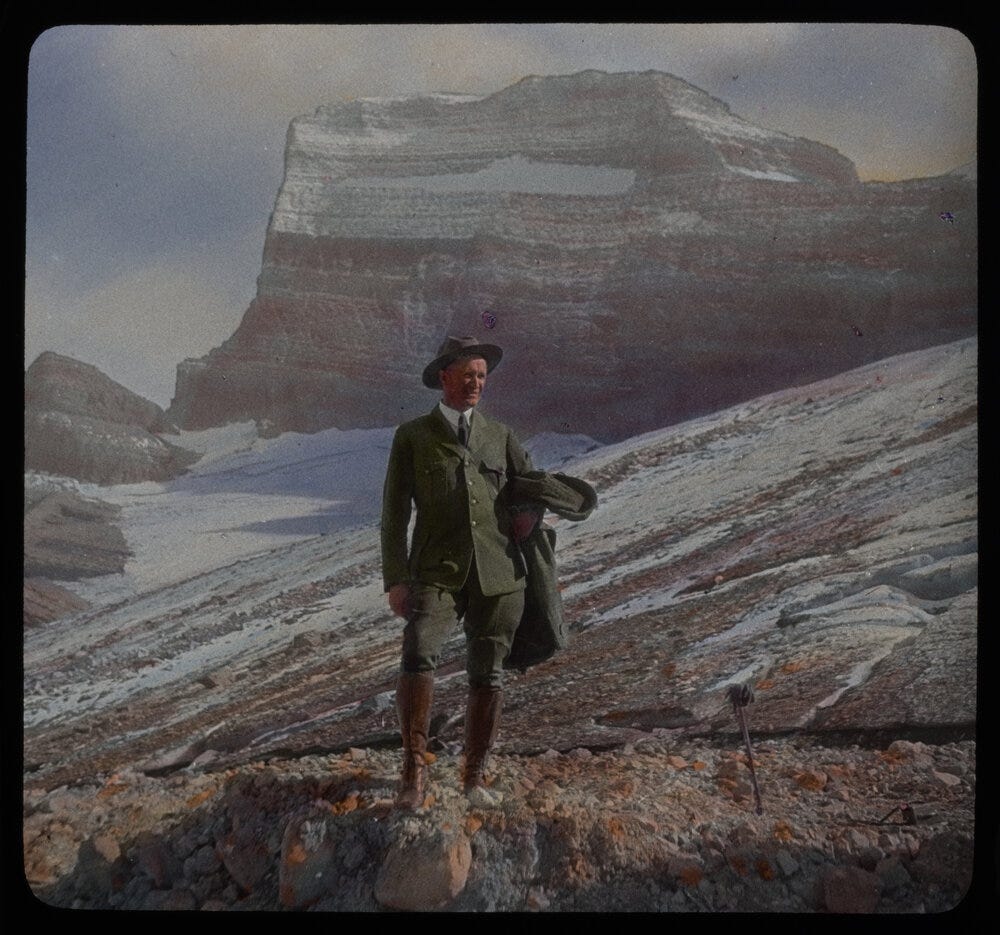
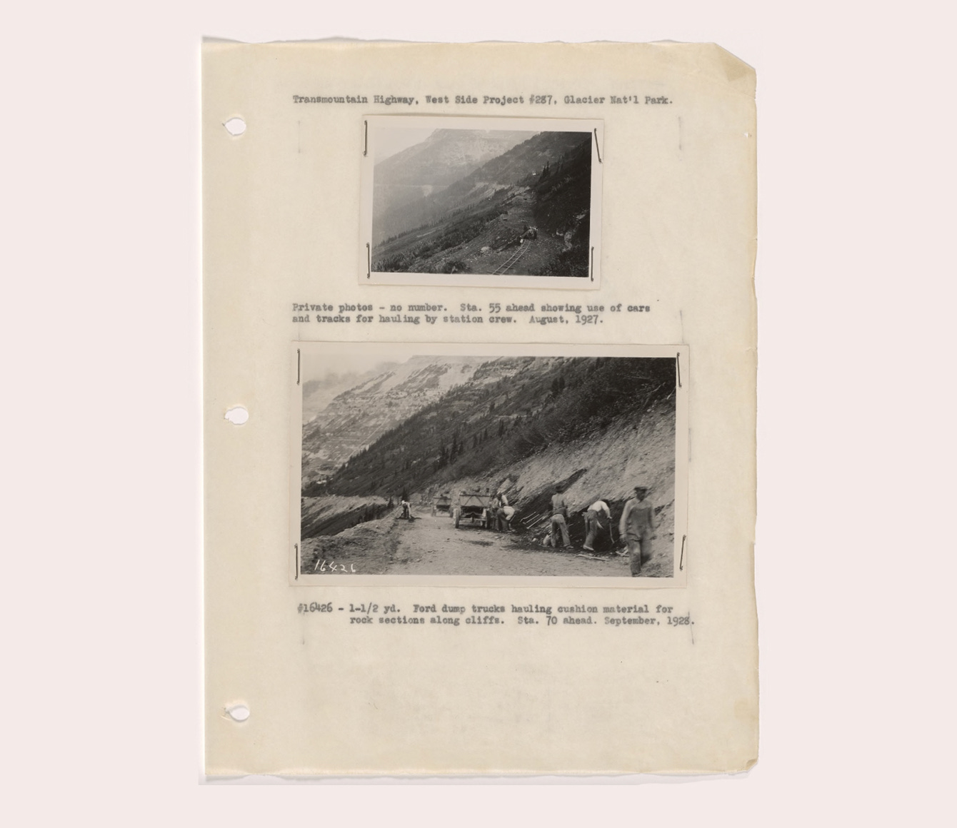
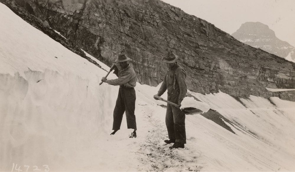
Additionally, I found photographs and documents detailing the arduous process of building the road.
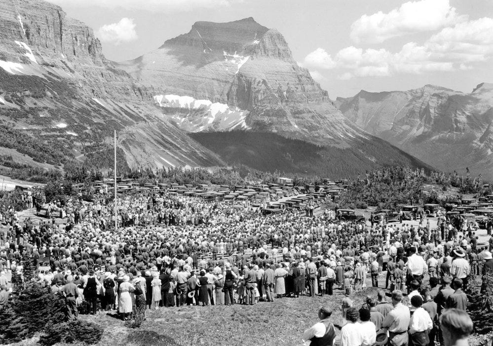
Glacier was an all-timer.
Talk soon.
Logan
If you weren’t wearing a “Horace Albright” uniform whilst touring and capturing the joys of the area, then you need to go back as you did it wrong 🙂…but your photos suggest you did it right…lovely content from you as per, and terrific history lesson.
Dude. The light and drama in those photos are nuts. Beautiful, man.